Products

Five signals. Five products.

Each animation walks through the three steps listed under it.

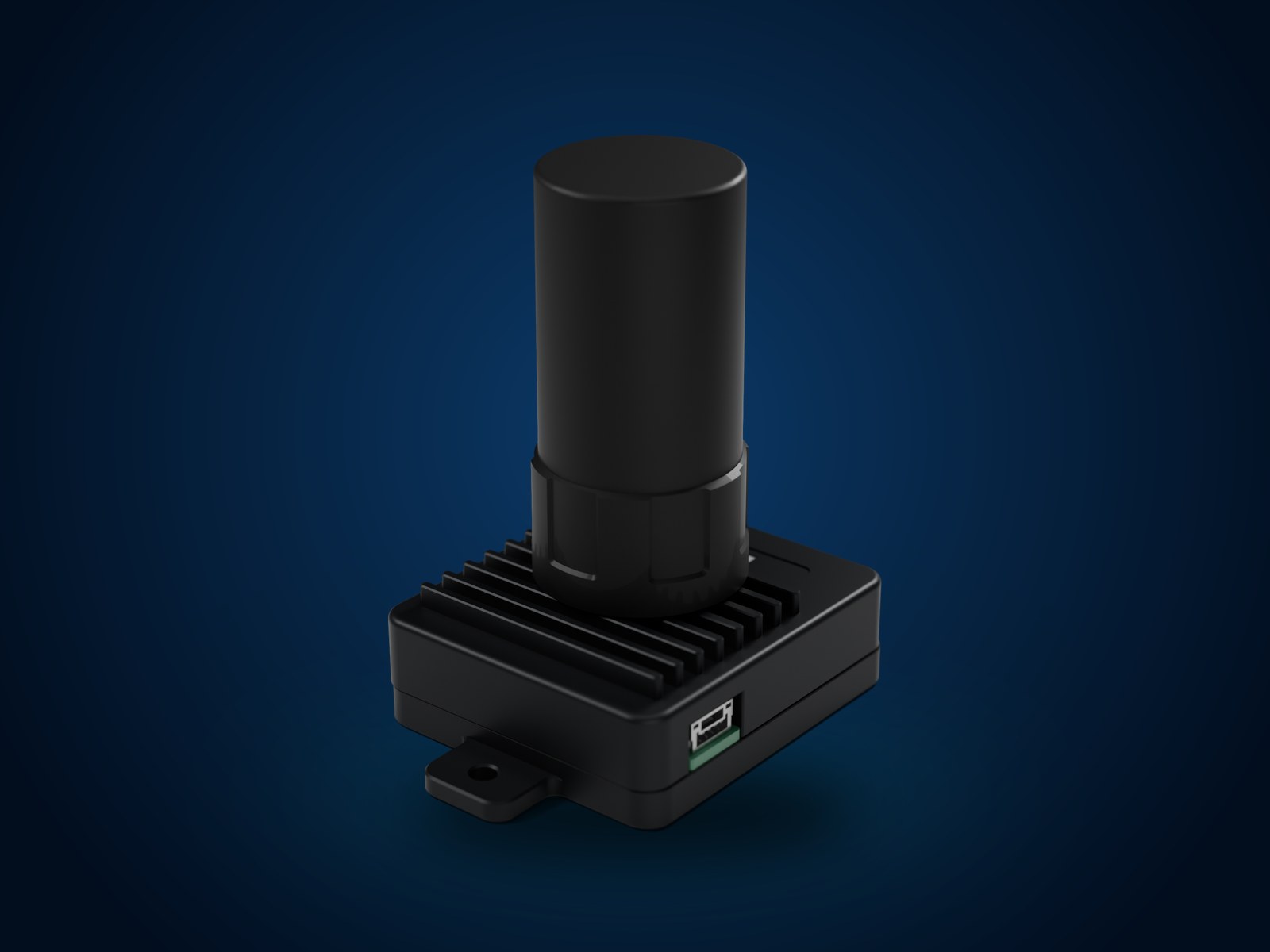
GNSS interference warning unit
Product render

GNSS interference warning unit

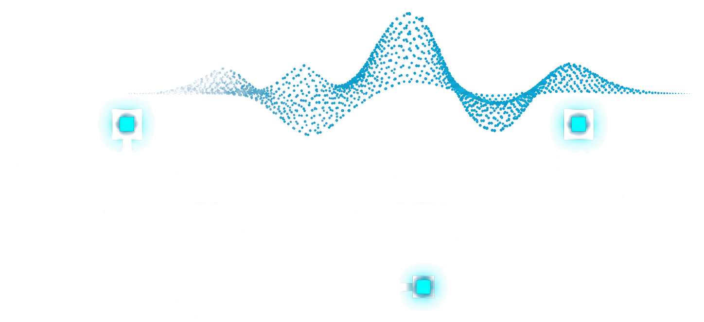
A positioning unit for drone autopilots that also flags potential GNSS interference to the autopilot. Two versions, L1 and L1 + L5. Designed for PX4 and ArduPilot.

False signal Reported position True position AutopilotGNSS position Trusted Do not trust
  1. In normal flight the unit supplies position to the autopilot.
  2. A false or jamming signal appears near the aircraft.
  3. The unit warns the autopilot to stop relying on that position.
Water-flow monitor
Illustration

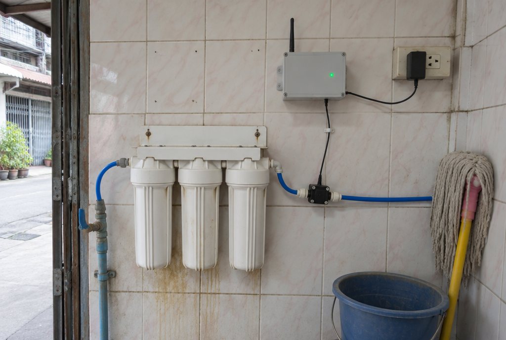
Water-flow monitor

A connected meter for water filtration services. It measures the water volume through a filter and helps the service team plan filter replacement.

Flow sensor Filter Our board Cloud Service dashboardLitres filtered0 LFilter life Filter change due Service team
  1. A flow sensor measures the water volume through the filter.
  2. The board sends the reading to the cloud.
  3. When filter life runs low, the service team is alerted.
Air-quality monitor
Illustration

Air-quality monitor

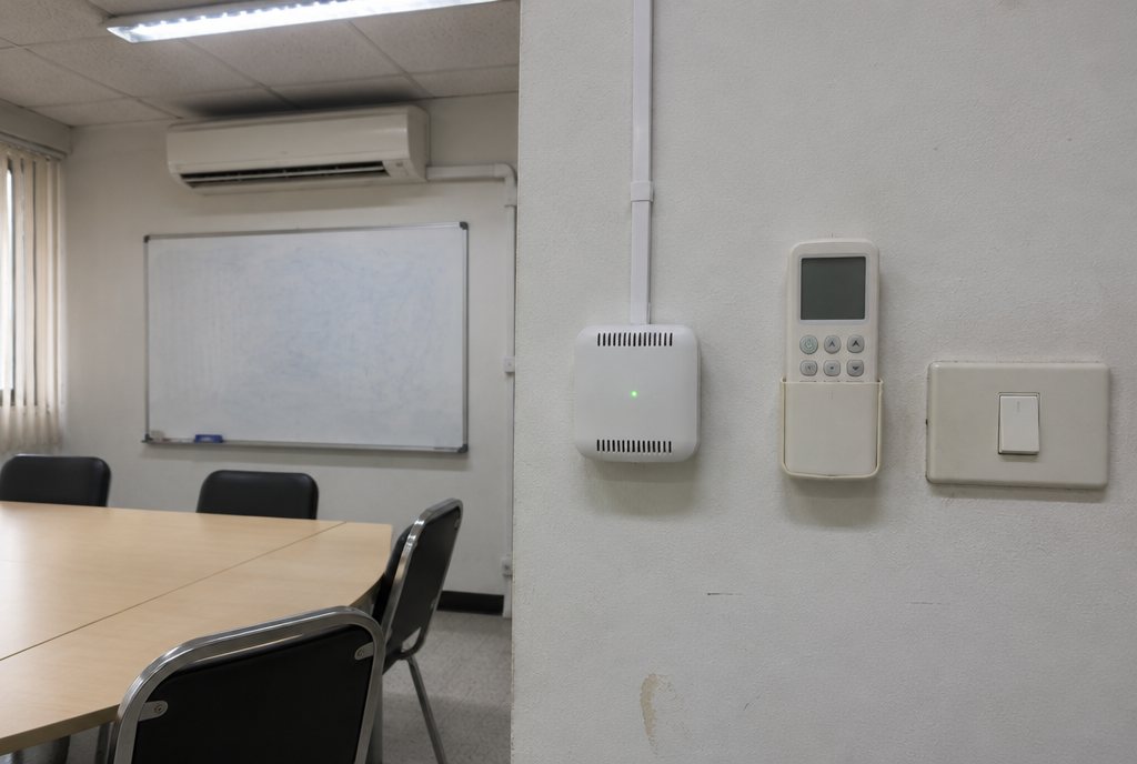
A connected monitor for indoor air conditions, with readings and alerts for building teams.

Sensor Building dashboardMeeting room Good Trend Ventilate now
  1. The sensor samples the air in the room all day.
  2. Readings appear on the building dashboard.
  3. When the air goes stale, the team is told to ventilate.
Software-defined GNSS receiver
Concept illustration

Software-defined GNSS receiver

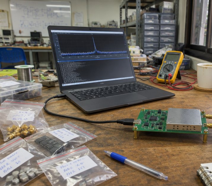
A satellite receiver built on software-defined radio. The signal processing is ours, so it can be adapted to a difficult radio environment instead of being a sealed black box.

Radio front endOur softwareOutput Raw band Spectrum Satellites tracked Searching Position fix Signal health Sent to the vehicle
  1. The radio front end receives GNSS signals.
  2. Our software acquires and tracks each satellite.
  3. The receiver outputs position and signal health to the vehicle.
One picture for defence operations
Concept illustration
In development

One picture for defence operations

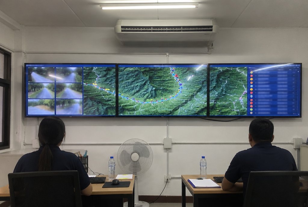
Video, positions, sensor readings, maps and reports usually sit on separate screens, with separate units. This system brings them together, so the people in command can review the available information in one place.

One place One picture Command display
  1. Each unit keeps sending the data it already has.
  2. Everything arrives in one place.
  3. Command sees a single picture and decides from it.
Contact

Have something that needs building?

Send a short description of the product or problem. We reply with questions, then a scope and quotation.

SIGNETIC TECH CO., LTD.BANGKOK, THAILANDTH · EN